Improving cartographic generialization focusing on point
clustering in interactive maps (PhD project)
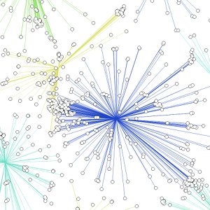
Aggregation techniques used in
interactive maps often
lead to maps where the spatial context of the original data is
drastically
changed and distributions are not apparent anymore. The resulting maps
are used
in search, pattern recognition and other cognitive tasks that benefit
from or
even require a representative visualisation of the original data.
We aim to
improve upon the status quo developing a new,
tailored approach. With a focus on point display in web maps we plan to
supply
pre-computed seed points to aid cluster initialisation and definition
via
semantic knowledge. Leveraging correlations of many datasets to a
shared
"parent", such as the distribution of many VGI datasets closely
resembling population distribution (at least down to a certain scale)
should
allow to cluster that parent dataset once and use the resulting
parameters to
cluster the many correlating datasets for low cost. A tight coupling
between
the desired visualisation technique and the clustering approach will
allow to
tune both aspects in unison.