Geoinformation for the Coastal Zone
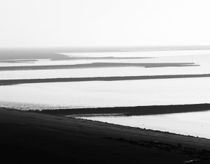
The coastal areas of the North and Baltic Seas are the study areas to generate, use and distribute geoinformation under various aspects: the technological development of geoinformation with regards to Spatial Data Infrastructures (SDI) and Meta-Information Systems, but also the operationalization of changing organizational frame conditions due to EU directives for monitoring and reporting of coastal environments. GI-technology has to be adapted dynamically to the changing needs. The integration of earth observation methodologies (through optical and radar imaging) can also contribute significantly to this task.
Scientific linkages do exist to the GKSS, the DLR, the Wadden Sea National Park Administration and the Federal Institute of Hydrology (BfG). To cover this topic scientifically, three national conferences have been carried out in 2006, 2008 and 2010 under the guidance of the HCU. All proceedings from the previous conferences are available as hardcopy prints: GIS im Küstenzonenmanagement (2006), Geoinformationen für die Küstenzone (2007) and the latest "Geoinformationen für die Küstenzone, Band 3".