
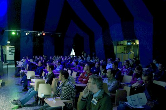
GeoViz_Hamburg 2013 is over now...
 |
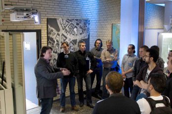 |
Find more impressions [here...]. Online presentation materials are available [here...]
Scope
Sources of spatial data abound. Some spatial data are
well-structured, others are messy. Some data sets are so large that they have
been creatively named 'big data'. Analysing and synthesising these messy, large
datasets to produce meaningful insights about phenomena and processes provides
both computational and cognitive challenges. While computers can provide
answers, people are required to make those answers meaningful.
At the same time, the world faces significant problems
that are affecting or will soon begin to affect our daily lives: food
insecurity, climate change and environmental hazards, traffic congestion,
economic crises, and species extinction, among others. But both computers and
people can do amazing things when tasked with a challenge. These amazing
things, however, do not arise out of nowhere. They require a concerted effort
to design interactive analytical cartographic representations of these messy,
big data sets; representations that can effectively support spatio-temporal
inference and decision making by people. Thus there is a need to bring together
researchers who can contribute to our understanding of how technology, people
and spatial representations of information work effectively together to solve
the world's pressing problems.
This specialist workshop, jointly organised by the ICC
Commissions on Geovisual Analytics and Cognitive Visualization and HafenCity
University, Hamburg, will bring together researchers focused on the design,
implementation and evaluation of interactive analytical cartographic
representations.
Partial travel support will be provided to selected participants making presentations on movement data - related topics who are eligble for MOVE COST funding - more
This meeting will follow the format of the successful GeoViz Hamburg meetings of 2009 and 2011.